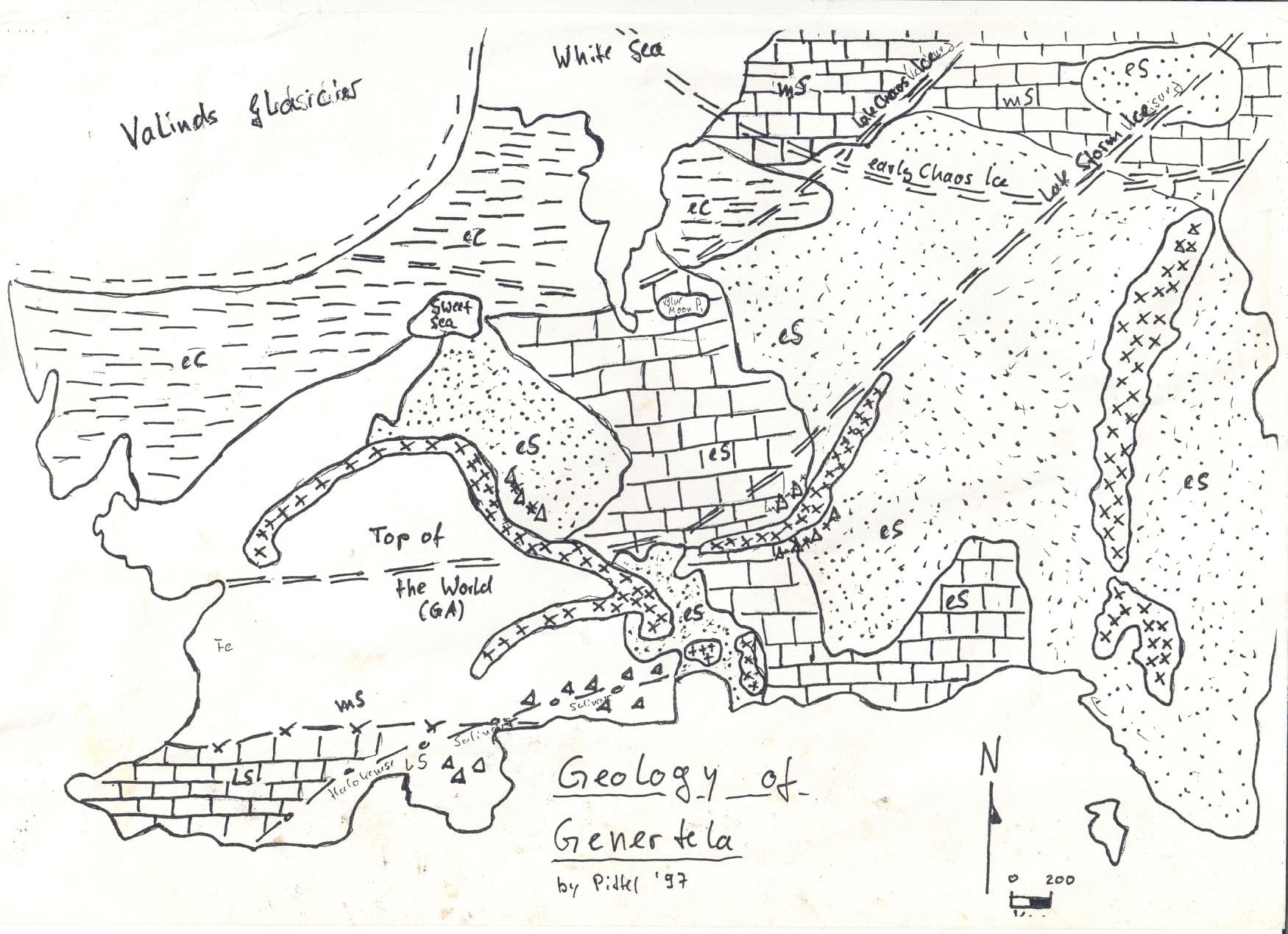
A little blurb on the geography of Dragon Pass and Sartar. Not much like Caledonia at all.
General Description
Sartar is a rugged and seismically active region filled with rounded hills and deep, twisting valleys. At its center rise the Quivin Mountains, an upthrust of steep peaks along the same watershed as the Storm Mountains in the south, and the Indigo Mountains in the north. The elevations range from around 700 meters above sea level at Duck Point to 3120 meters at the peak of Quivin Mountain.
Much of this area is a karst landscape covered by a dissected plateau of limestone and sandstone, created when the oceans covered the land in the Lesser Darkness. During the Gods War, the original limestone and sandstone rocks were folded into troughs by igneous intrusions of granite and quartz. Rampaging storm gods wore this down to rolling hills, buttes, and mesas, exposed the granite cores, and left a rugged and strikingly beautiful landscape. Creeks and rivers have carved out twisting but fertile valleys. The Starfire Ridges in western Sartar are the first in a series of ridges between the Upland Marsh and Prax. A seismically active area, the Starfire Ridges are a mass of tuff and sandstone, and a geothermal area called the Cinder Pits with steaming sulfur vents. West of the Starfire Ridges are the grasslands that surround the Upland Marsh, a vast bog of murky islands, rocky outcroppings, and groves of cypress and blackthorn trees standing out of the dead plant material and black water. The bog is ringed with a narrow fence of hardwood trees.
The Quivin Mountains are plutonic masses of granite that thrust through the surrounding limestone during the Gods War. They are sons and daughters of Lodril, the great Fire God beneath the earth, and of Kero Fin, the Mother of Mountains. The permanent snow line is at approximately 3000 meters, and thus Quivin Mountain is capped with snow year-round. There are several small glaciers in the Quivin Mountains, most are on Quivin Peak itself. North of Sartar is a rugged dissected limestone plateau called the Far Point. Most of the plateau is between 1050 and 1150 meters high, although there are several volcanic intrusions, most notably Firetop and Jerra Hill that are 1300 meters and above. The area is closely linked with the volcanic fields of the Indigo Mountains, itself an active volcanic mountain range where Lodril’s children still hurl fire into the air. Several plains atop the Far Point are noted for their fertility, particularly the Sharl Plains and Engoli’s Fold.
The Creek-Stream River drains most of Sartar and the Far Point. From its source at Skyfall Lake to the Choralinthor Bay at Nochet, the river is 700 kilometers long. For much of its length, the river is usually between three and four meters deep and from 100 to 200 meters wide, sometimes growing much larger during the spring floods. The river is also called the Engizi, which is the name of its god. It has two major tributaries, the Creek and the Stream, and many smaller rivers, including some seasonal tributaries that largely disappear in late Fire season and early Earth season. A long range of limestone hills marks the eastern reaches of Sartar. Typically called the Guardian Hills, they include sub-ranges such as the Yellow Hills, Quail Hills, Forloss Hills, and Division Hills. This is another dissected plateau, cut by rivers whose sources are the winter snows of the Quivin and Storm Mountains. The Quivin River has carved a deep canyon called Enothea’s Cut through the hills.
Rivers and creeks have carved numerous twisting valleys in the hills. These valleys are well-watered and fertile with deep rich soil. Melt-off from the mountains flood the valleys each spring, and the valley floors are runnelled with irrigation ditches to control the waters. Some of these ditches date back to the Second Age or before.
To the east of the Guardian Hills are the Plains of Prax, a relatively flat region between the River of Cradles in the east and the hills and mountains which separate it from Dragon Pass and the Holy Country in the west, and between the mountains of Shadows Dance in the north and the coastal zone and the sea in the south. Prax was beloved of Eiritha and was fertile and pleasant, but its essence she gave to aid the Storm Bull against the Devil. The surface of the land is now hard clay and sand, underlay by limestone.
All of Dragon Pass is seismically active, and earthquakes are common. The areas around the Starfire Ridge, Far Point, and Dinosaur Hill are the most seismically active in Sartar. The Earthquake Goddess is offered propitiatory worship throughout Sartar, even if her number of initiates is small. Dragon Pass is littered with fantastic landmarks from the Gods War, and Sartar is no exception. The Skull Ruins and Bone Hills are the remnants of a True Dragon, and the outline of sleeping giants can be seen in the mountains. North of the Far Point, the cursed depression known as Snakepipe Hollow was formed when the Chaos Army invaded and an ancient Earth Temple collapsed in order to trap the corruption. A much more recent formation is the Dragon’s Rest, formed in 1625 when the Green Dragon awakened and devoured a Lunar Temple and much of the Lunar Army.
![]()
![]()
I didn’t realize there was so much volcanic activity in Sartar. What does the cult of Lodril look like there? there isn’t much of one in Dragon Pass. They recognise Lodril as the father of the Indigo Mountains (which are active volcanoes), but they don’t initiate into his secrets, preferring to rely on Ernalda and Orlanth.
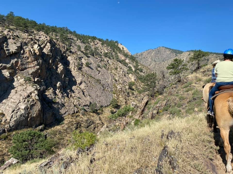
There’s a long tradition of sheep herding in rugged territory.
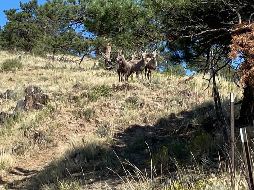
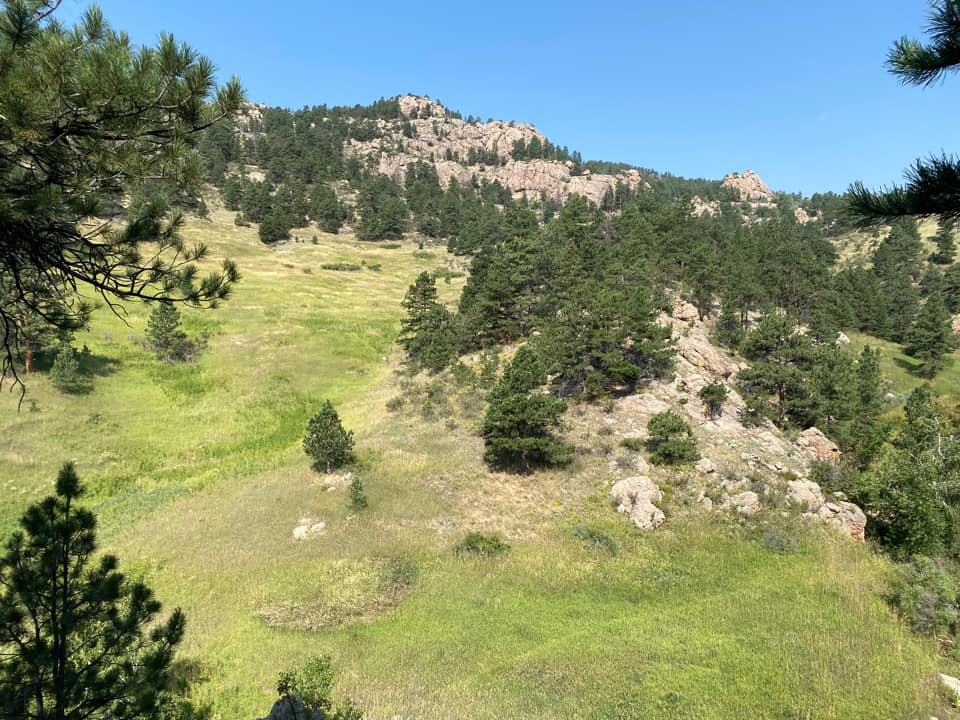
You would graze sheep and cattle in terrain like this. My father grew up not far from here and they had over a thousand head of sheep. This is part of the Big Thompson Gorge. Or maybe it is Enothea’s Cut, east of the Killard Vale. Photo credit: Jeff Richard.